Prior to the primary processing, a produced image must be taken through the preliminary processing stage, which consists in geometric, radiometric and atmospheric corrections.
Geometric correction is undertaken to eliminate geometric distortions caused by the fact that an image of Earth surface shot by a device directed exactly downwards contains an undistorted picture only in the center of the image, and distances between the image points when shifted to the edges and respective distances on the Earth become increasingly different.
Such distortions are corrected in the process of photogrammetry.
Radiometric correction includes two types of corrections:
- Radiometric correction of distortions caused by specifications of a survey equipment used;
- Radiometric correction of distortions arising due to sun angle and relief forms (elimination of defects of sunspots and shadows).
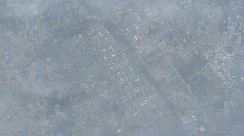
Atmospheric correction is undertaken to remove various distortions caused by atmospheric effects.
В процессе предварительной обработки изображения из данных удаляются систематические радиометрические и геометрические ошибки. Улучшение изображения позволяет преобразовать его в форму наиболее удобную для визуального и автоматизированного анализа и используется для того, чтобы подчеркнуть важнейшие признаки изображения и в дальнейшем облегчить процесс интерпретации данных.
После того как будет проведена обработка ДЗЗ, их можно использовать для создания качественной картографической продукции, например, для обновления топографической основы и дешифрирования.
 |
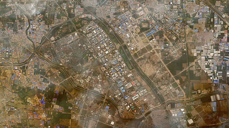 |
Image before and after atmospheric correction