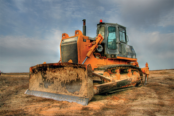
Extraction of minerals and some other types of economic activities come with withdrawal of lands, primarily, from agricultural use, their disturbance, contamination and decrease in land productivity.
According to the legislation of the Republic of Kazakhstan, in order to lower adverse consequences of these processes the user of nature resources shall implement a package of measures for environmental protection, improvement of landscapes and rational use of land resources. Land reclamation is of the most critical measures.

Reclamation of lands is a set of works aimed at restoring productivity and economic value of disturbed lands and improving quality of natural environment.
CRS & GIS “Terra” provides a full package of works to develop projects for reclamation of lands disturbed and being disturbed, including:
Preparation of documents prior to starting works:
- Program for development of reclamation project (approved by Client, agreed upon by Contractor);
- Act of Inspection (site selection) of disturbed lands signed by members of Commission (Client, Contractor, Head of Region’s Land Relations Division);
- Terms of Reference for development of reclamation project for disturbed lands (agreed upon by Contractor, agreed upon with Head of Region’s Land Relations Division, approved by Client).
Conducting design and exploration works:
- In-house (office) and field preparation;
- Execution of explorations;
- Project works and production of documents.
The Company has a wide experience in developing both technical and biological phases of land reclamation.
For substantiation of design solutions, the Company specialists conduct field works, including soil and geobotany studies with soil sampling for chemical analyses to identify physical and chemical properties and contamination indicators (content of heavy metals, oil products).
Inspection of disturbed lands is carried out at 1:500 - 1:2000 scales. Indicators of disturbed ground surface are defined instrumentally using tacheometers and other geodetic devices. In the process of in-house processing of field materials, the area and volume indicators of disturbed lands are specified. As a result of processing, analysis and generalization of soil studies results, inspection of sites with technogenically-disturbed lands (TDL), data of laboratory testing of soil samples and analysis of archive materials, a working project for reclamation of disturbed lands is developed.
Maps, drawings and plans are created in a vector format using ArcGIS software, including specialized Spatial Analist and 3-D Analist modules. Upon Client request, materials can be prepared in any other format (Maplnfo, AutoCad, etc.).
The Company develops a full-scale chapter on environmental protection with clear specification of measures for environmental protection and mitigation of adverse environmental impact from expected operations in the process of disturbed lands reclamation works. Amount of air pollutant emissions is calculated, measures to ensure compliance with safety regulations, etc. are specified.
All types of field, laboratory and in-house (office) works are carried out according to guidelines, methodologies, instructions, GOSTs operating in the system of Committee for construction, housing and public utilities and land resources management at the Ministry of National Economy of the Republic of Kazakhstan, and also according to requirements of the environmental legislation and regulations accepted in the Republic of Kazakhstan.

