CRS & GIS “Terra” performs a complex of works to create digital elevation/terrain models and 3-D modeling.
As input data to implement these works, results from engineering and geodetic surveys, detailed plans and topographic maps are used as well as data from space surveys or UAV shooting, satellite positioning system data, etc.
The digital models help to resolve such application tasks as contouring, longitudinal and transverse profiles, slope angle and exposure calculation, computing quantities and areas, etc. are solved.
3-D modeling serves to display spatial features of terrain providing the maximum possible representation of the spatial forms and sizes of objects. Using 3D models to design engineering structures, transport networks and to develop general plans reduces overall production time, improves performance results and effectiveness of the proposed solutions.
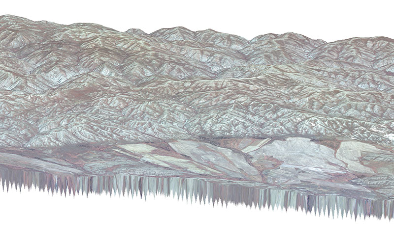
A WorldView-3 image overlaid on a 3D terrain model