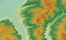
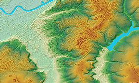
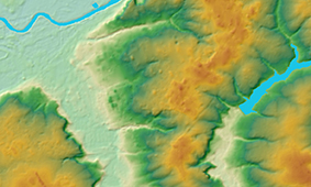
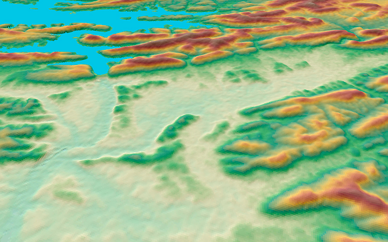
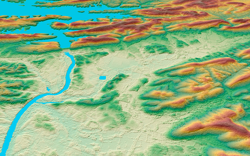
WorldDEM is the high-precision global digital elevation model (DEM) of our partners, Airbus Defense and Space, which owns exclusive commercial rights in data and deals with DEM adaptation to meet user requirements around the world.
WorldDEM is created by interferometric pairs of radar images from TerraSAR-X and TanDEM-X satellites and excels all current DEMs acquired from data of Earth remote sensing.
WorldDEM:
- unique quality of data and detail levels;
- reliable data on elevation anywhere in the world;
- unprecedented accuracy: 2 m (relative) and 4 m (absolute);
- cell size 12х12 m.
Airbus Defence and Space provides WorldDEM data to users in three products:
| WorldDEMcore | WorldDEM™ | WorldDEM DTM |
|---|---|---|
|
An unedited Digital Surface Model (DSM) which contains radar and processing artifacts and voids. |
An edited Digital Surface Model with hydrography added: river valleys, shoreline. |
Digital Terrain Model (DTM) with removed vegetation and man-made objects. |
 |
 |